Saturday – I updated the map for the storm. Nothing has changed in the overall aspect of the storm.

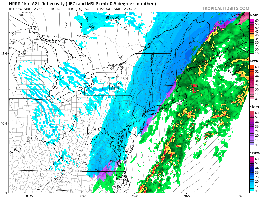
The snow area shifted east on the models overnight so now the 1-4 inch snows are going to hit the I-95 corridor. Because the storm is going to be moving quickly, I had to cut down the snowfall across the Northeast to just a foot. Most areas from Tennessee to New York will see 4-8 inches of snow. Factor in the winds which will be gusting over 45 mph and temperatures falling into teens and 20s making the storm a dangerous storm given the time of year. Wind chills will be below zero and power outages may occur due to the high winds.


Please Share My Blog to all your friends:
Like this:
Like Loading...
