Daily Weather Madness: Severe Storms and Watching the Tropics

Happy Weather Thursday!
First, I am watching the low development along the East coast. Low pressure will develop along the old cold front and move north into New England tomorrow. It remains to be seen if the low will have tropical characteristics and be classified as a depression or such. In any case, gusty winds and rain will move along the coast into New England the next 48 hours.
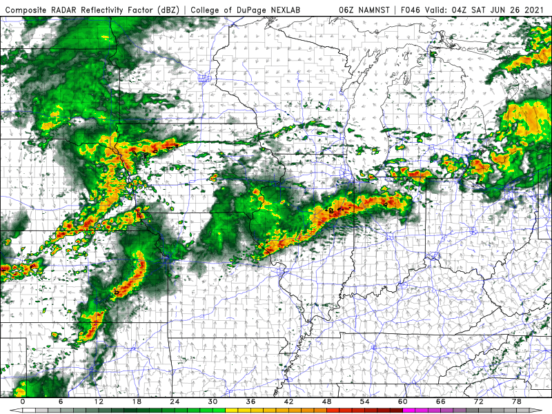
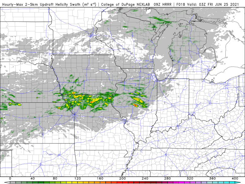
Severe weather will develop in the Plains, Midwest and Mississippi Valley today and tomorrow. I see SPC did upgrade the risk area for tomorrow which I expected to happen. I will do a new post on the outbreak with maps showing where to expect the bad weather.
The weather overall across the East will turn warm and humid again, while in the West the heat will grow again. The trough will be located in the mid-section of the country and that means numerous showers and thunderstorms over the next 7 days from the Plains into the Ohio Valley. The Gulf of Mexico will need to be watched for development and now it appears the Tropical Atlantic will get active with storms next week. There is one already developing in the western Caribbean.